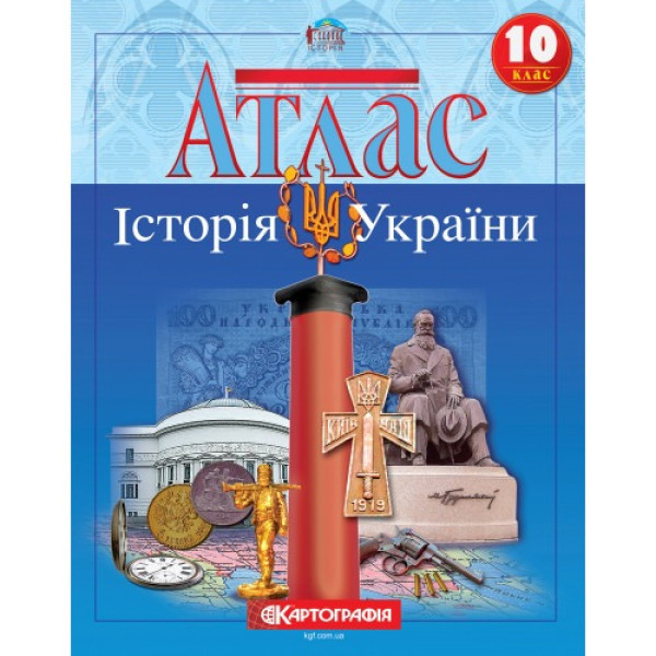
The atlas illustrates the main topics of the school course on the history of Ukraine for the 10th grade. Covers the events that took place on the territory of Ukraine in 1914-1945.
The main attention is paid to the topic of the Ukrainian revolution of 1917-1920. Events in Ukraine are presented in the context of the history of Central and Eastern Europe. Events in Western Ukrainian lands in the interwar period are shown in detail, including pacification and the activities of the OUN. Much attention is paid to changes in the administrative and territorial system, as well as to the events of the First World War, Stalinist repressions, the Holodomor, culture and economy. Among the innovations is the map "Western Ukraine in 1941-1944. Ukrainian Insurgent Army", map "Social and Economic Life in Galicia in the 1930s", map of the Holocaust in Ukraine. Reconsidered presentation of the theme of the Second World War. The content of the map of insurgent movements has been expanded, attention has been paid to the state-building efforts of the Crimean Tatars.
Maps of hostilities are accompanied by the dates of capture of populated areas by one or another hostile party.
The atlas is informative, the maps have a load corresponding to the age characteristics of the students, at the same time, the information is presented in a form accessible to the students.
The publication has the stamp of the Ministry of Education and Science of Ukraine and complies with the sanitary legislation of Ukraine.
No specifications.
Loading...