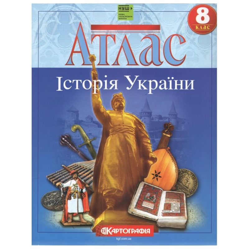
The atlas of the history of Ukraine for the 8th grade covers the period from the beginning of the 16th century. to the end of the 18th century, contains more than 24 maps.
The main attention is paid to the events of the Liberation War of 1648-1709, which are shown on 11 maps. A separate map is dedicated to each military campaign, which allows the teacher and the student to thoroughly understand the events.
The atlas broadly presents the history of Ukrainian Cossacks, territorial changes and the administrative structure of Ukrainian lands at different times, and the geography of churches in the Polish-Lithuanian Commonwealth.
Interesting are the detailed map of the Ukrainian Cossack state with hundreds of towns, the map of Bohdan Khmelnytskyi's foreign policy, the map of the Ukrainian lands within the Polish-Lithuanian Commonwealth, and others.
The authors made sure that the information presented in the atlas was well understood by the students. On the pages of the atlas there are many illustrations that complement the maps.
The publication has the stamp of the Ministry of Education and Science of Ukraine and complies with the sanitary legislation of Ukraine.
No specifications.
Loading...