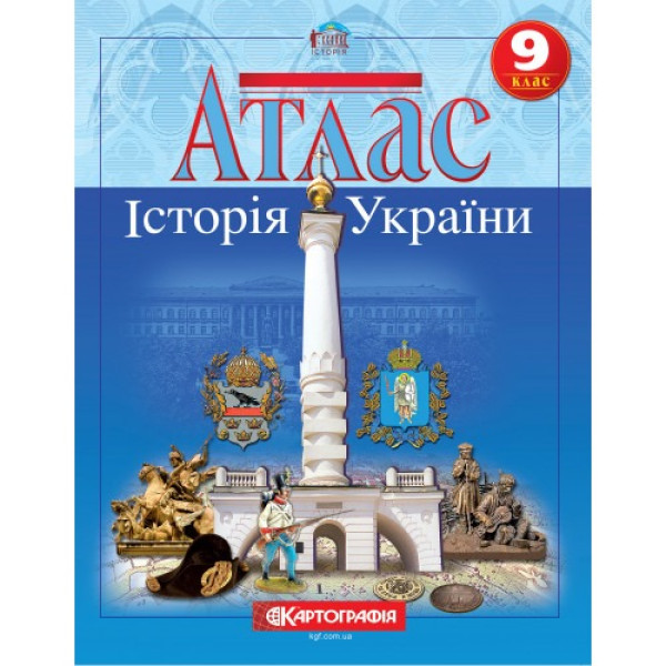
The atlas on the history of Ukraine for the 9th grade covers the period from the end of the 18th century. and until the beginning of the 20th century.
The content of the atlas is coordinated with current educational programs.
Among the curiosities of the Atlas of the History of Ukraine for the 9th grade is the map "Ukraine in the plans of the Decembrists", maps highlighting the connection of the Ukrainian national liberation movement with the "Spring of Nations" in Europe, plans of Kyiv and Lviv in the 19th century. According to the map "Economy in the first half of the 19th century." it is possible to determine the economic "weight" of cities in rubles. The content of the map "Western Ukrainian lands in the second half of the 19th - at the beginning of the 20th century" has been significantly deepened. (results of elections to the Austrian Reichsrat in 1897, areas of influence of Narodites and Muscophiles, etc. are shown). The topic of the revolution of 1905, the Stolypin reform and the resettlement movement, national revival, in particular the emergence and development of the Ukrainian press, is widely covered.
The atlas maps are supplemented with illustrations, contain statistical data in the form of charts and tables, which increases the informativeness of the publication.
The publication has the stamp of the Ministry of Education and Science of Ukraine and complies with the sanitary legislation of Ukraine.
No specifications.
Loading...